

3D Virtual Surveys: What They Are and How They Are Used
A 3D virtual survey is a digital, navigable record of a building or site that provides a shared visual view of layout, context, and spatial relationships. It captures conditions at a specific point in time and presents them in a form that is easy to access, share, and revisit.
On this site, the term 3D virtual survey is used interchangeably with 3D visual survey to describe this type of capture.
In practice, teams use 3D virtual surveys to support planning, coordination, maintenance, reporting, and wider property condition reporting. They offer a quick and practical way to establish understanding at any stage of a project, including early conceptual stages.
How 3D virtual surveys sit alongside other surveys
3D virtual surveys are not a replacement for measured or specialist technical surveys, which remain essential where certified measurements, detailed analysis, or formal reporting are required.
Instead, they provide a supporting layer of visual context, helping teams understand spaces and work with confidence, while sitting cleanly alongside established surveying disciplines.
For some projects, surveys are repeated at key stages, creating an ongoing visual record of condition and progress. In some workflows, 3D virtual survey data is used directly within BIM processes.
Our Approach at C9VT
At C9VT, we use Matterport technology to deliver virtual surveys that support property and industry professionals with clear, accessible visual records of buildings and sites. Our focus is on practical application helping clients understand space, condition, and change over time across a wide range of property and industry environments.
Virtual surveys for property and industry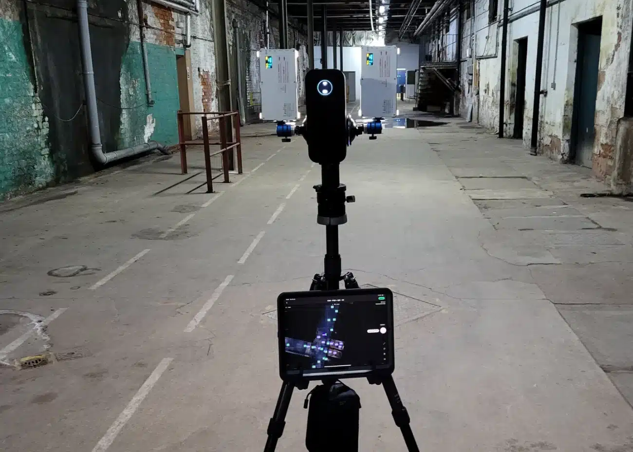
Who 3D Visual Surveys Are Useful For
3D visual surveys are useful where stakeholders need a clear, shared view of a property to support coordination, review, and informed decision-making. Alongside visual context, the space is measurable, allowing dimensional checks to support understanding of scale and layout. This can be enhanced with supporting information added directly into the 3D space through the use of tags.
Those responsible for planning, managing, and maintaining properties, particularly within structured asset management programmes use them, including estates teams, facilities managers, project teams, and engineering staff.
They are also valuable for management and other stakeholders who need context to support reporting and approvals, without relying solely on drawings or written descriptions.
Using a 3D Virtual Survey as a Shared Resource
3D virtual surveys are typically commissioned by those responsible for a property or site, such as site owners, estates teams, asset owners, facilities managers, or consultancies acting on behalf of clients. Once captured, teams can access the survey as a shared resource across a wide range of disciplines involved in the life of the property.
Project teams, contractors, maintenance planners, health and safety teams, consultants, and management can all use the survey. Each can use the same visual reference to understand layout, access, and context, supporting preparation, coordination, and review.
By sharing the survey and enhancing it with additional information, such as notes or references, it becomes a practical collaboration tool that helps align discussions, reduce duplication of effort, and support confident decision-making, while also reducing site visits where they are not always necessary.

Condition, Change, and Ongoing Digital Records
For some organisations, particularly where contractual, compliance, or operational obligations apply, understanding the condition of a property is an ongoing requirement as part of maintaining reliable digital records. This involves keeping a clear, up-to-date view of the property and its contents as they evolve over time.
In these cases, visual surveys create a time-stamped record of condition. Each capture records spaces, layouts, visible elements, and assets at a specific point, creating a reference that can be revisited as part of regular review and oversight.
For organisations managing risk or insurance, a clear visual record of condition can also provide useful supporting context. Time-stamped surveys help demonstrate what existed at a given date, show change over time, and support clearer discussion when incidents or claims are reviewed.
Building condition surveys using 3D virtual captureWhere 3D Virtual Surveys Add Value
3D virtual surveys provide a clear and accessible way to understand properties as they exist. They support a wide range of uses, from early-stage planning and coordination through to ongoing management and condition review.
Those responsible for a property commission the surveys and share them across teams, creating a common visual reference that improves communication, reduces reliance on separate documents, and helps keep decisions aligned.
Sitting alongside measured and specialist technical surveys, 3D virtual surveys do not replace established disciplines. Instead, they improve access to information and support confidence in how that information is used, including where repeat surveys form part of an ongoing digital record supporting continuity, risk management, and informed decision-making over time.
just a few steps away
- tailor package The first step is a discussion about the project and aspects of your business you want to capture.
- plan We'll work with you to plan a date and find the best time to carry out the scan.
- scan The specialist equipment we use captures both 3D & image data at the same time.
- deliver In as little as 48 hours you'll have a link to your digital twin. We'll set everything up to your spec, along with any additional digital assets.
- support We give the support you need to start reaping the benefit, including communicating with your website provider or social media teams as needed.
schedule a call
Call us on 07798 584 583.
Email info@c9vt.co.uk
Or fill out form and we’ll get back to you as soon as we can.